



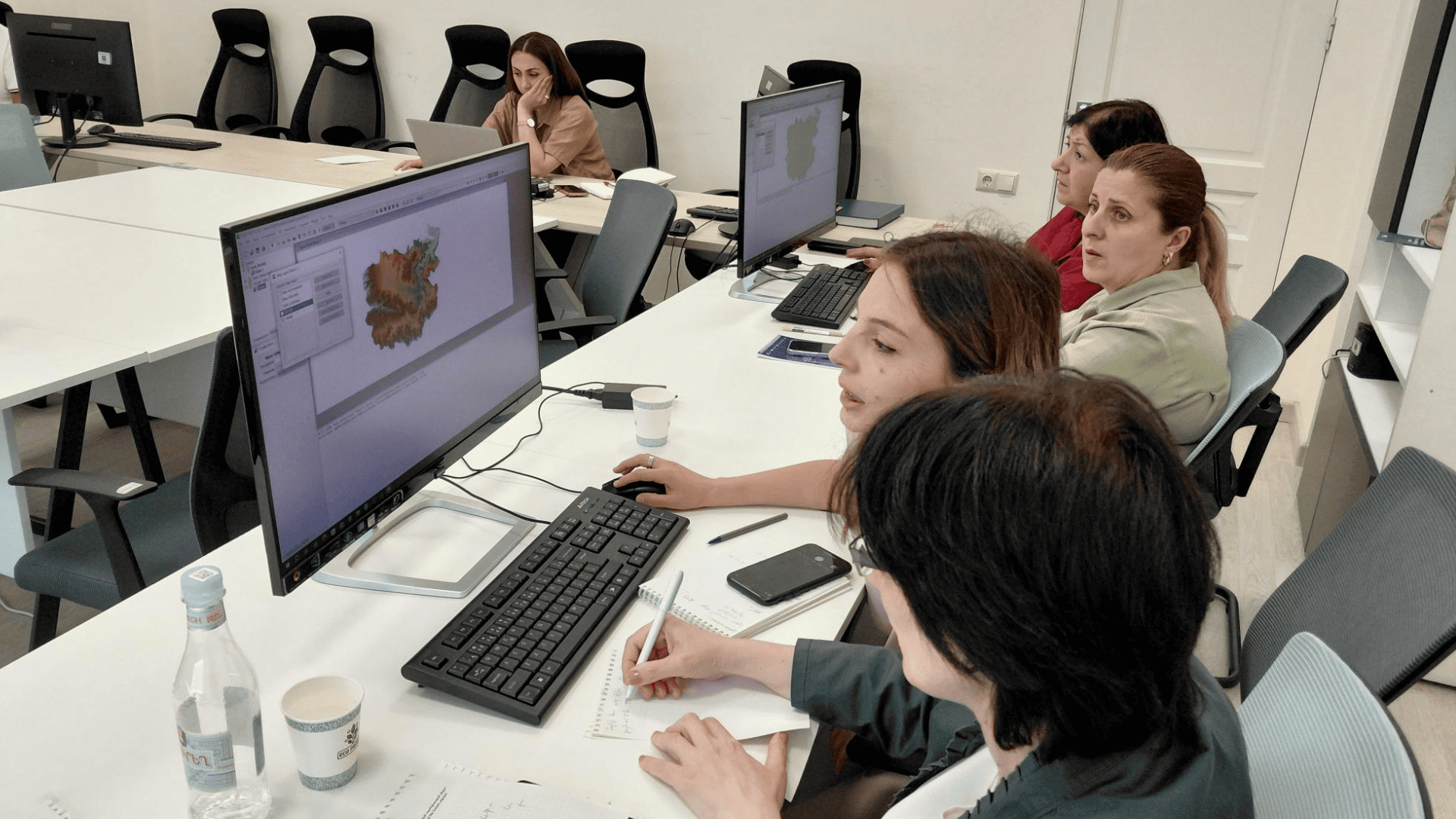
Following the April 2026 training on flood risk mapping software for Armenian experts recruited under the EU4Green Recovery East programme (see our previous article), the Armenian team was able to advance its modelling work. On 22 and 23 July 2026, they presented their first results to the Hydrometeorology and Monitoring Centre, and took part in a further training session.
Eleven Hydrometeorology and Monitoring Centre (Hydromet) members attended the two-day training, whose aim was to strengthen their capacity for flood risk forecasting and developing flood risk management plans.
The session opened with Armenian experts presenting progress on their hydrological and hydraulic model of the Debed(a) River basin since April 2026, illustrating a real-world application of flood modelling.
The training covered core modelling theory: objectives, applications, model types, data needs, and workflow. This included a review of the May 2024 flood simulations and updated results building on the April 2026 training.
Participants then built a simplified hydrological model from a standardised dataset, covering the full workflow from data preparation to simulation, using open-source tools: QGIS, HEC-HMS, and Notepad++.
The training introduced approaches used in the EU for assessing and managing flood risks, including flood-risk mapping, modelling and planning. These approaches are relevant to Armenia's efforts to strengthen flood resilience and to advance cooperation and regulatory approximation with the EU in the environmental sector.
These skills can help protect people and communities by improving understanding of flood risks and supporting better planning. In Armenia, recent extreme events reinforce the need for these skills. In May 2024, heavy rainfall led to massive floods along three rivers (including the Debed(a)), with significant impacts on people and local infrastructure.
Next steps
Another training by the International Office for Water (OiEau, one of the implementing partner of the programme) with the Hydrometeorology and Monitoring Centre team is scheduled for the last week of September 2026. Two modelling software programmes will be covered and put into practice: BlueKenue and Open-TELEMAC.
During this next training, the objectives are to complete the remaining practical module and move on to real-world applications.
Ressources
-
EU Floods Directive (2007/60/EC) requires countries to assess and manage flood risks through hazard maps, risk maps, and flood risk management plans across their river basins: https://environment.ec.europa.eu/topics/water/floods_en
-
OPENTELEMAC is an open-source hydraulic modelling software developed by EDF (Électricité de France) in 1987 and widely used across the European Union for flood hazard and risk mapping: https://www.opentelemac.org/
-
News EU pilot study strengthens flood risk management in Armenia (April 2026): EU pilot study strengthens flood risk management in Armenia
-
HEC-HMS sofware