



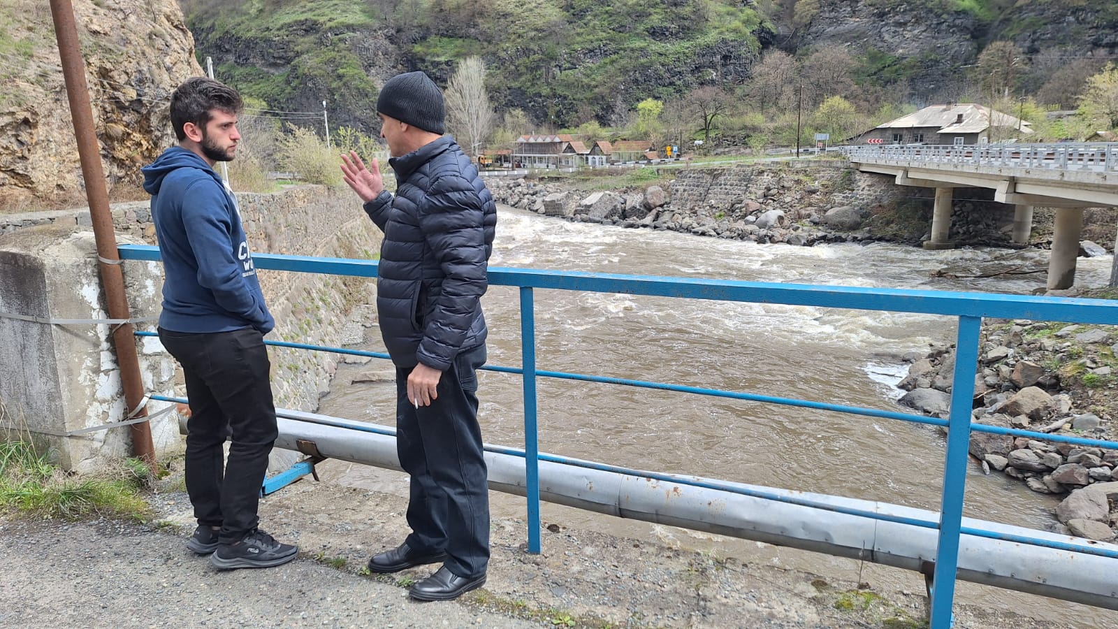
The EU4Green Recovery East programme is supporting the Government of Armenia in strengthening flood risk management Following EU standards through a new pilot study in the Debed(a) River basin.
Over the next 15 months, the study will support the development of a preliminary Flood Risk Management Plan. This will include the assessment of flood hazards and the identification of measures to reduce risks for local communities, critical infrastructure, and ecosystems.
Advanced modelling tools introduced
As part of the assignment, the selected consultant, Geoinfo LLC, has installed and been trained in the use of OPENTELEMAC, an open-source hydraulic modelling software for flood risk mapping.
OPENTELEMAC is widely recognised as one of the most advanced tools for producing flood hazard and risk maps, as well as for conducting hydraulic simulations in both 2D and 3D environments.
The installation and training sessions took place in Yerevan from 15 to 17 April 2026, with the participation of two experts from Geoinfo LLC. The sessions were delivered by specialists from the International Office for Water (OiEau), an implementing partner of the EU4Green Recovery East programme.
Building national capacity for flood risk analysis
With OPENTELEMAC now operational, Geoinfo LLC will carry out detailed hydraulic simulations for the Debed(a) River in the Alaverdi community. These analyses will support the production of flood hazard and risk maps and enable the testing of multiple flood scenarios.
The modelling work will be conducted on a shared platform, ensuring full accessibility and long-term usability by the Ministry of Environment and the Hydrometeorology and Monitoring Centre of Armenia.
Further online and in-person training sessions will be organised to continue strengthening technical capacities and to support the development of simulations, involving staff from the Hydrometeorology and Monitoring Centre.
This initiative strengthens national technical capacity in flood risk management, promotes data transparency, and contributes to improving climate resilience in Armenia.
More information
EU Floods Directive (2007/60/EC) requires countries to assess and manage flood risks through hazard maps, risk maps, and flood risk management plans across their river basins. More: https://environment.ec.europa.eu/topics/water/floods_en
OPENTELEMAC is an open-source hydraulic modelling software developed by EDF (Électricité de France) in 1987 and widely used across the European Union for flood hazard and risk mapping. More: https://www.opentelemac.org/
Picture: Debed(a) river, part of the Northern River Basin District in Armenia, near Dzoraget. This is an area that experienced severe flooding in 2024. Credit: Patrick Laigneau, International Office for Water (OiEau).